In the aftermath of the recognition of 1I/`Oumuamua as an object originating from outside the Solar system, people have been trawling through the archives for other possible similar events.
One such archive is CNEOS, which incororates a list of fireballs - objects that have hit the Earth's atmosphere such as the 2013 Chelyabinsk meteor, or the powerful event over Russian Kamchatka in December of last year.
Searching this database a small event (about 100tons TNT equivalent) of 2014 stood out - the orientation of it's path, time and date allowed it's trajectory to be worked out and back-tracked, showing that it probably came to Earth from outside the Solar system. Before entering the Solar system, the object had a velocity of some 43.8km/s with respect to the Sun and was slightly accelerated by the Earth's gravity before impact. When compared to the "Local Standard of Rest" (LSR, the vector of objects orbiting the galactic centre with the Sun), the object's computed speed was some 60km/s, and at This implies that it was never bound to the Sun. Unlike 1I/`Oumuamua, the bolide was also at a considerable angle to the LSR. If accepted as an interstellar object, this second such body starts to flesh out the size and frequency distribution of such events. The possible power-law distributions within these limits are compatible with the distribution of small Kuiper Belt Objects, which includes objects liable to be scattered from the Solar system in future stellar encounters.
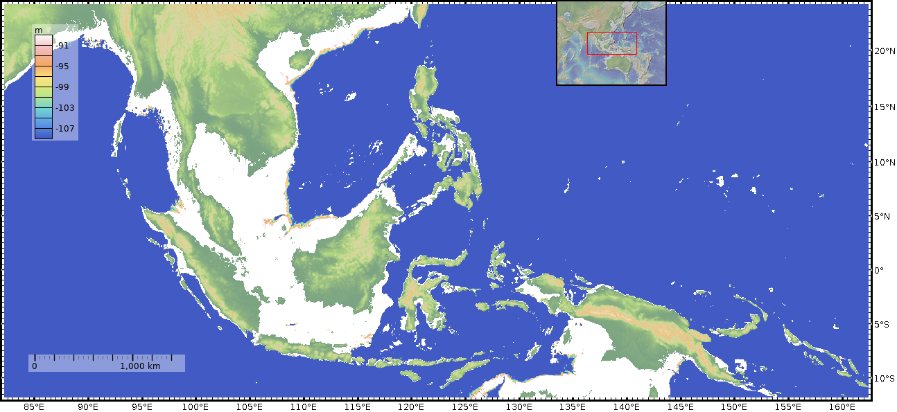
The location of the fireball - above the Pacific Ocean NE of Papua New Guinea does not make finding remains very likely. However, the last word of the paper's Discussion is "panspermia" so "Aliens" graphics can be used.
I need to do a bathymetry for this one too.
Put onto Slashdot as a submission.
I've done the bathymetry. The red star shows the location of the fireball ; the white line is the line of the profile.
Data is from GMRT and CNEOS, plotted using www.GeoMapApp.org.


